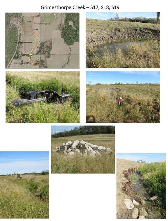
Grimesthorpe Creek Sites S17, S18 and S19
By conducting restoration work on this site we protected 393 linear meters of stream
bank, 590m2 of in-stream habitat and 9432m2 of riparian habitat.
The following was installed:
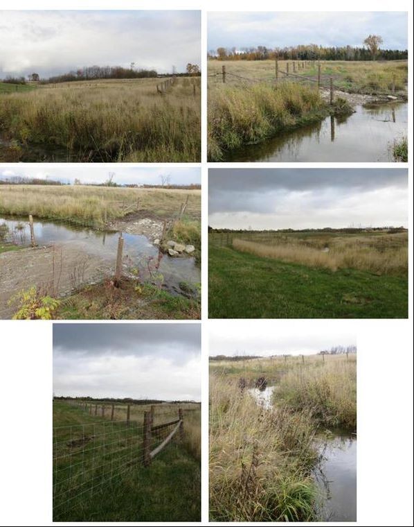
Restoring these sites and installing protective fencing has allowed us to protect 1.17 km length of Grimesthorpe Creek. Restoring Sites S17, S18 and S19 has completed our work on Reach 29. In 2015 we completed site S15 and in 2017 we rehabilitated S16. This work will now provide continuous, undisturbed aquatic habitat.
Finishing this site will provide over 1.5 kilometers of continuous protected aquatic habitat on this portion of this Creek.
bank, 590m2 of in-stream habitat and 9432m2 of riparian habitat.
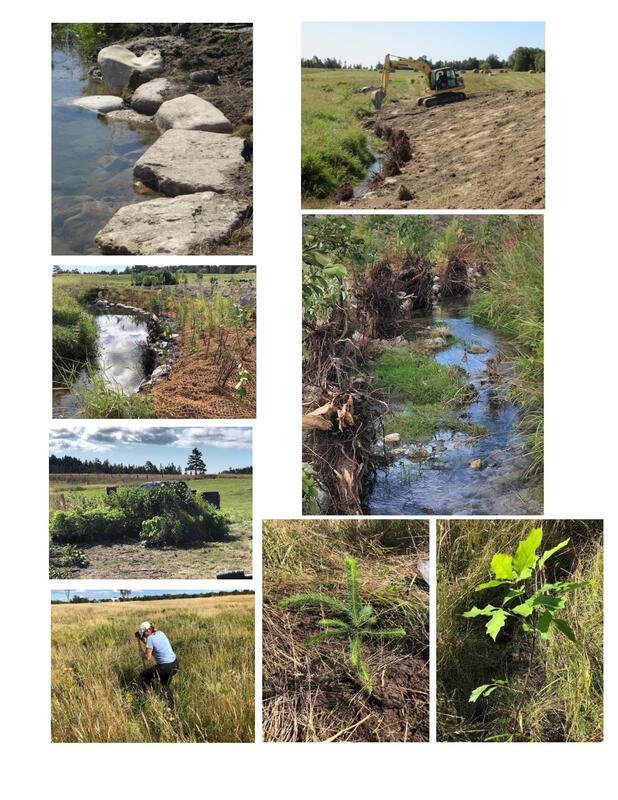
The following was installed:
- Sixteen cubic meters of spawning gravel to improve spawning habitat
- A low water crossing was created at S18 for machinery and livestock to cross.
- 17 root wads installed
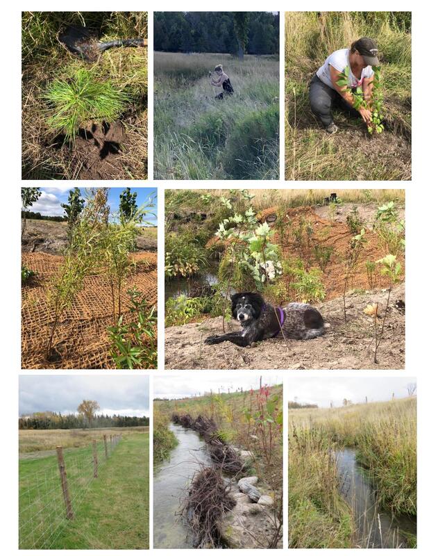
- approx. 800 meters of fencing
- 600 square meters of grass seed
- 630 square meters of coconut coir matting
- 419 shrubs planted by the contractor
- 600 trees and shrubs planted by volunteers
Restoring these sites and installing protective fencing has allowed us to protect 1.17 km length of Grimesthorpe Creek. Restoring Sites S17, S18 and S19 has completed our work on Reach 29. In 2015 we completed site S15 and in 2017 we rehabilitated S16. This work will now provide continuous, undisturbed aquatic habitat.
Finishing this site will provide over 1.5 kilometers of continuous protected aquatic habitat on this portion of this Creek.